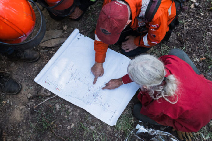
Mapping done by Living Lakes Canada (LLC) and the Argenta Safety and Preparedness Society (ASAP) was used to help wildfire suppression efforts.
Data helped the BC Wildfire Service plan out their battle against the Argenta Creek wildfire.
“This Water Resources for Wildfire Suppression resource provided comprehensive maps of identified water sources in the Argenta and Johnsons Landing region of the West Kootenays,” said Paige Thurston, Columbia Basin Water Monitoring Framework Program Manager.
“This resource provided easy access to local knowledge of water sources to when the BC Wildfire Service had that knowledge and could respond accordingly.”
The maps provided plenty of details to firefighters.
“The resource identified high-pressure standpipes, ideal pump deployment sites in streams, locations of buildings and residences, and access routes,” said Thurston.
“It was really helpful to understand the community, where things are located and where they could go to access water.”
According to Living Lakes Canada, this is a new resource meant to help fire suppression.
“When our team first shared the maps, both digital and large paper versions, with the on-site provincial crew, they were blown away,” said Rik Valentine, ASAP Crew Leader.
“No one had ever seen anything like it.”
The BC Wildfire Service was thankful for the work that went into this mapping resource.
“Living Lakes Canada in collaboration with ASAP has gathered critical local knowledge about the Argenta and Johnsons Landing region well in advance of a potential wildfire emergency,” said the BC Wildfire Service.
“Preparedness tools such as these bolster BC Wildfire Service’s coordination and partnerships with local resources and firefighting resources in their efforts to support response efforts in a community.”
Thurston said Living Lakes Canada is looking to expand this project after seeing the initial success.
“This is definitely a system we would like to offer and replicate in other communities,” said Thurston.
“We’re very keen to collaborate with communities to address water resources and watershed security.”
Be the first to know! Don’t miss out on breaking news and daily updates in your area. Sign up to MyKootenayNow News Alerts.


