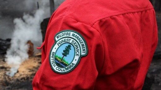
Wildfires ignite in West Kootenay

A series of small wildfires have sprouted up throughout the West Kootenay and Creston Valley.

BC Wildfire officials say three are clustered on the northeast part of Trout Lake, with the biggest being 0.6 hectares.

There is another smaller blaze just east of there, in addition to fires northwest of Syringa Park in the Castlegar area and northwest of the Needles Ferry landing.

There are all suspected to be caused by lightning.

Officials are sure what sparked the other small wildfire near Riondel.

All are considered out of control, meaning officials expect them to spread beyond their current perimeters or control lines.


Be the first to know! Don’t miss out on breaking news and daily updates in your area. Sign up to MyKootenayNow News Alerts.

Drew Wilson
Drew Wilson
Drew brings more than four decades of experience to the Kootenay newsroom. His career has taken him across Ontario, the Northwest Territories and B.C. Drew combines his love of radio and community with his passion for sports.

Continue Reading

cjat Now playing play

ckqr Now playing play

- Advertisement -

Related Articles

- Advertisement -

Latest News

B.C. airports brace for Air Canada flight attendant strike

Airports in B.C. are bracing for travel disruptions after the union representing 10,000 Air Canada flight attendants issued 72-hour strike notice Wednesday.

Trail mayor hopeful about lab after meeting with Interior Health

Colleen Jones is feeling optimistic following a meeting last week with Interior Health officials to discuss the future of the city's downtown blood lab.

Fauquier boil notice cancelled

The RDCK says repairs have been completed, and water quality tests indicate the water quality is good.

Interview – Leo’s Sleepover, a locally written children’s story on diabetes

Trail author Dave Colquhoun and illustrator Stacey Kissock about their new book, Leo's Sleepover, with Summit Radio morning host Wayne Kelly.

Castlegar receives $400K for flood mapping

The City of Castlegar will update its floodplan mapping and hazard risk assessments with help from a provincial grant.
- Advertisement -