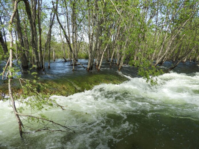
The Regional District of Central Kootenay says the risk of flooding in the area continues to increase, as snowpack levels are at their highest in the province since 2012. In the West Kootenay, they sit at 128 per cent of normal.
Community sustainability manager Chris Johnson says the cool spring has resulted in two-to-three week delay in the melt of the snowpack, meaning more snow remains in the mountains than usual for this time of year.
As a result, Johnson says they are closely monitoring forecasts for a prolonged period of temperatures in the high 20s or 30s or rain-on-snow conditions that could cause much of that snow to melt in a short time, possibly overwhelming streams and affecting water levels on Kootenay Lake.
Johnson says a rain-on-snow event is when a stretch of hot days and warm evenings is followed by significant amounts of rain. The hot weather melts the snowpack, filling up the ground and streams with water, and then when the rain falls it has nowhere to be absorbed and runs straight into already-full streams.
While there have been no specific problem areas so far, Johnson says any location that has previously experienced flooding is a concern.
“Unfortunately much of the development in our region has occurred next to water bodies or on alluvial fans of creeks, and is therefore at risk annually,” he says, adding that with over 300 steep creeks plus rivers and lakes in the region, it’s difficult to pinpoint any single area as the highest risk.
Although the RDCK monitors conditions and prepares for flooding, he says geography works against them, making it impossible for them to manage all of the risk. So they encourage personal and neighbourhood preparedness.
He suggests keeping an eye on water levels and putting together an emergency kit and grab and go bag. Johnson says your plan should also include where you will meet if you need to evacuate, including moving pets and livestock to a safe area, in the event the situation worsens and an evacuation order is issued. Sandbags and sand are also available for residents at several locations.
You can also sign up for emergency notifications, through Voyent Alert, a mass-notification system the RDCK uses to send out critical information to residents and visitors in the event of an emergency.
The RDCK is further warning everyone to stay away from the edges of rivers, streams and creeks and report any erosion or flooding to the Provincial Emergency Coordinator Centre at 1-800-663-3456.


